Ground data. Clear decisions.
Technical solutions for solar, construction, industrial / FM and precision agriculture.
Four areas of work.
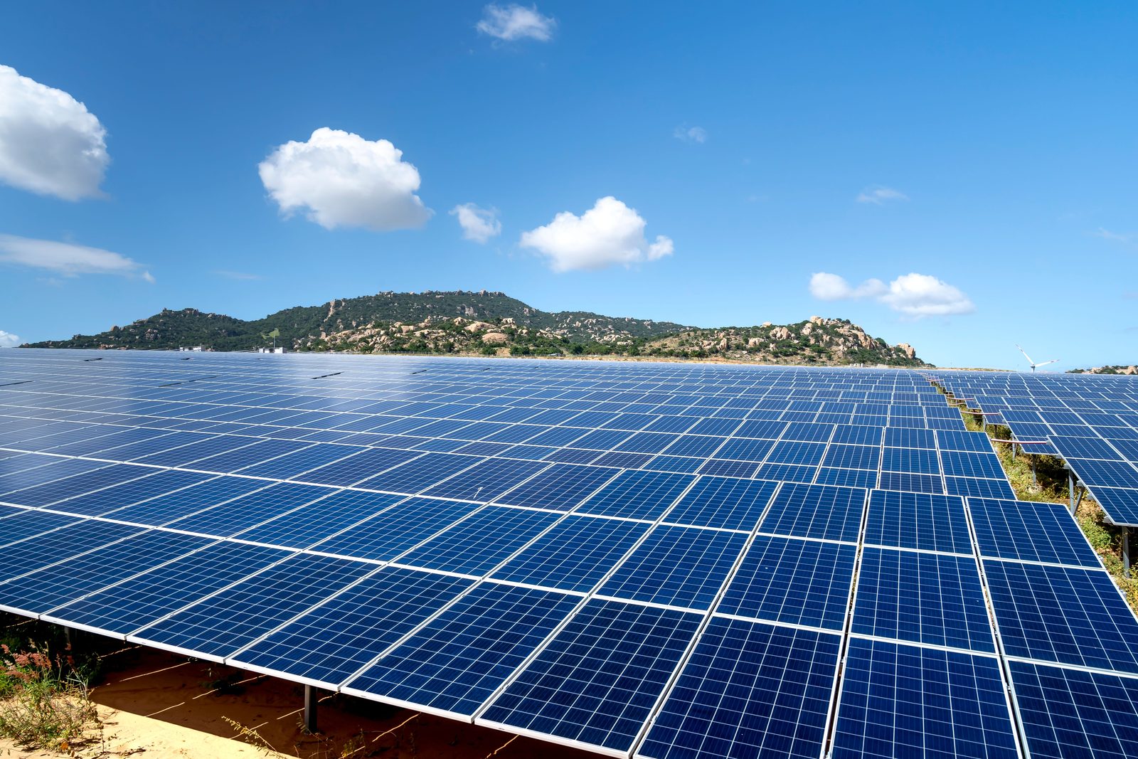 01 / 04
CERES SOLAR
Visual and thermographic assessment, anomaly detection and maintenance support for solar installations.
Explore Solar ↗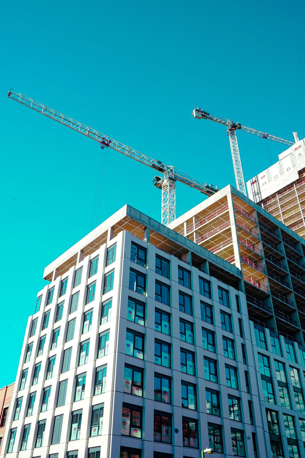 02 / 04
CERES CONSTRUCTION
Visual documentation of roofs, façades and construction sites to support monitoring and decision-making.
Explore Construction ↗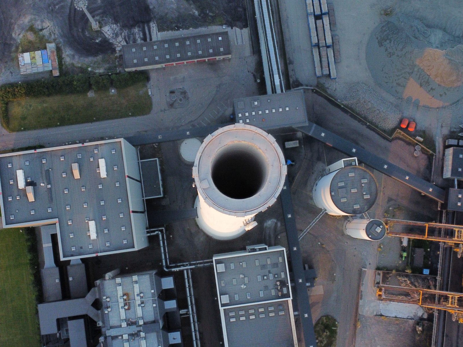 03 / 04
CERES INDUSTRIAL / FM
Inspection of facilities and support for maintenance and facility management teams.
Explore Industrial / FM ↗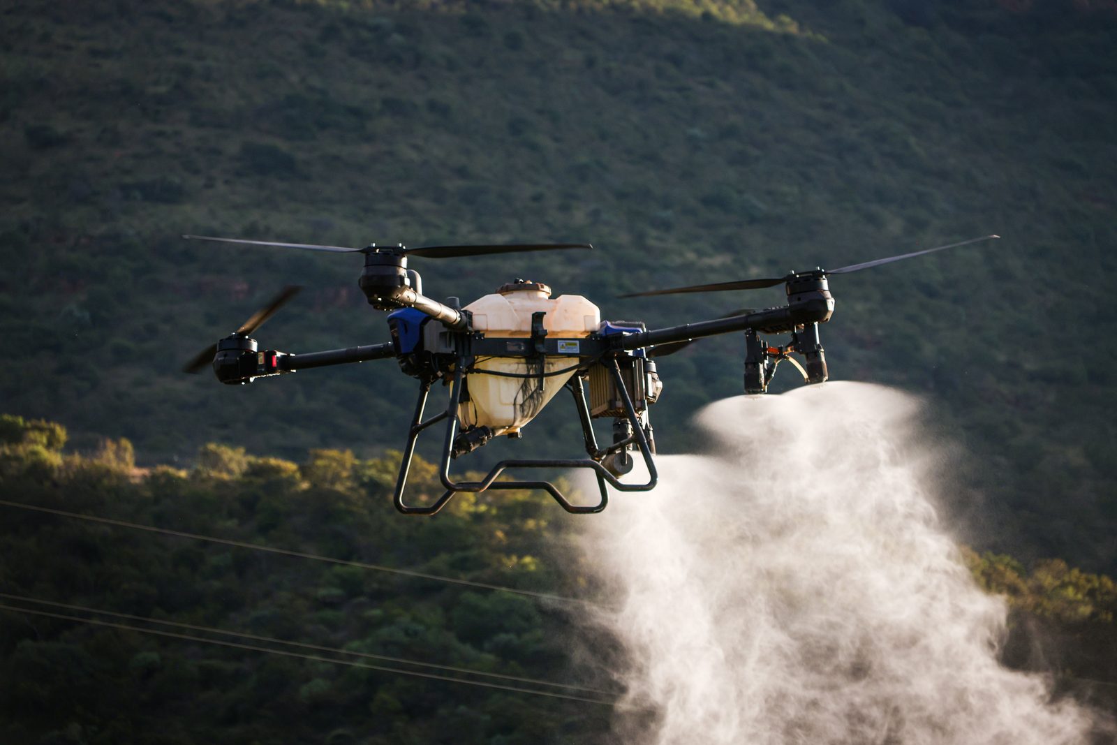 04 / 04
CERES AGRICULTURE
Aerial data, analysis and specialised operations to understand each plot better, detect needs and act with greater precision.
Explore Precision agriculture ↗Every asset calls for a different response.
We define the objective of the inspection, the operation and the output format so that the information is useful to those who manage the asset.
We don't just deliver images.
We organise the data so that it helps plan an appropriate review or intervention.
Planning
Objective, areas of interest, flight conditions and capture method agreed before operating.
Analysis
Review of the visual or thermographic material and identification of issues within the contracted scope.
Delivery
Report with evidence, location and review recommendations based on the available data.